

Elevation Certificates
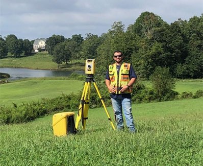
Obtaining an accurate survey can help evaluate the actual flood risk to your property. To determine your property’s flood risk, our team of survey professionals will conduct a thorough field analysis, identifying locations and elevations of existing structures on the property in relation to the adjacent ground level and 100-year flood zone area. Once the elevations have been verified, we will prepare an elevation certificate form to be filed with FEMA verifying or amending the existing flood map.