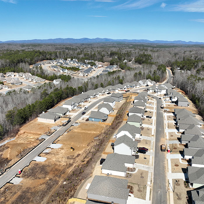
BUILD YOUR DREAM WITH DES

With a full range of engineering and surveying services, we can help you actualize your dream project.

VIEW OUR SERVICESREQUEST A QUOTE

A PARTNER YOU CAN TRUST

Benefit from our trusted name, ensuring quality, affordable and professional engineering and surveying services.

VIEW OUR SERVICESREQUEST A QUOTE

An environmental site assessment may be required prior to purchase or financing of a property to ensure there are no contaminants or hazardous conditions that would require costly clean up. A typical environmental site assessment follows three crucial steps:

I. Conduct land record search available from Federal, State and local resources to determine historic and current property use. This may include interviews of current property owner, long-time residents, employees, and anyone else who may have historic knowledge of the property.
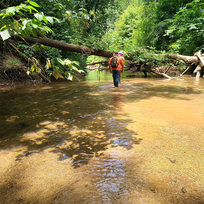
II. Inspect the interior and exterior of the site for hazardous material spills or dumps, underground storage tanks, asbestos containing materials, and other potentially harmful or dangerous environmental factors.
III. Prepare a report of our findings that satisfy state requirements established by ASTM and, if needed, consult with buyers, sellers, lenders, and legal teams to support pre-purchase decisions.
  • DISCOVER DES SERVICES

    DISCOVER DES SERVICES

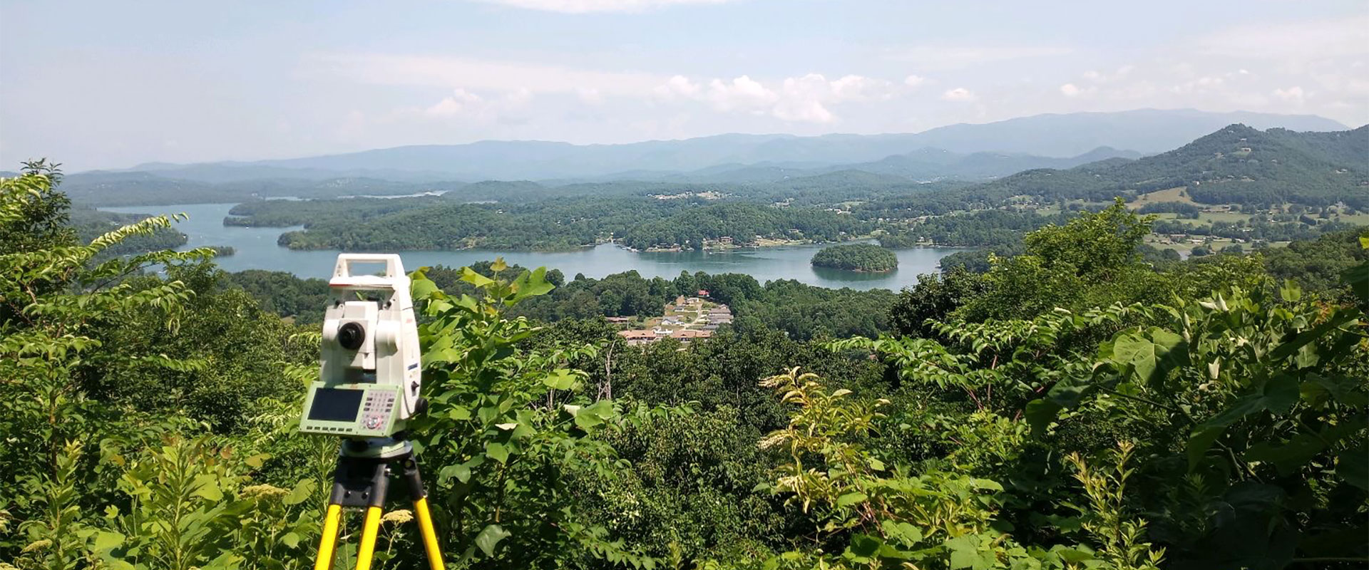
    DES is a full service engineering and surveying company able to handle all aspects of permitting process from start to finish for residential and commercial projects.

    LEARN MORE

  • THE DES DIFFERENCE

    THE DES DIFFERENCE

    We walk our talk and have laser focus on our clients' needs. We love what we do and it shows in every project.

    LEARN MORE

  • CAREER OPPORTUNITIES

    CAREER OPPORTUNITIES

    Are you a seasoned survey or drafting professional looking for a position with a dynamic company in a beautiful location?

    LEARN MORE

DES NEWS

Basics of Flood Insurance

Basics of Flood Insurance

FEMA identifies and maps certain areas of land that are prone to flooding based on previous flood history. These maps are revised as flood patterns emerge, but roughly 58% of these maps inaccurately identify Special Flood Hazard Areas (SFHA) especially in rural areas like North Georgia. Insurance companies utilize these maps to assess which properties lie within the special flood hazard zone and require them to carry flood insurance and/or obtain special permitting prior to construction.

Read more

READ ALL DES NEWS